
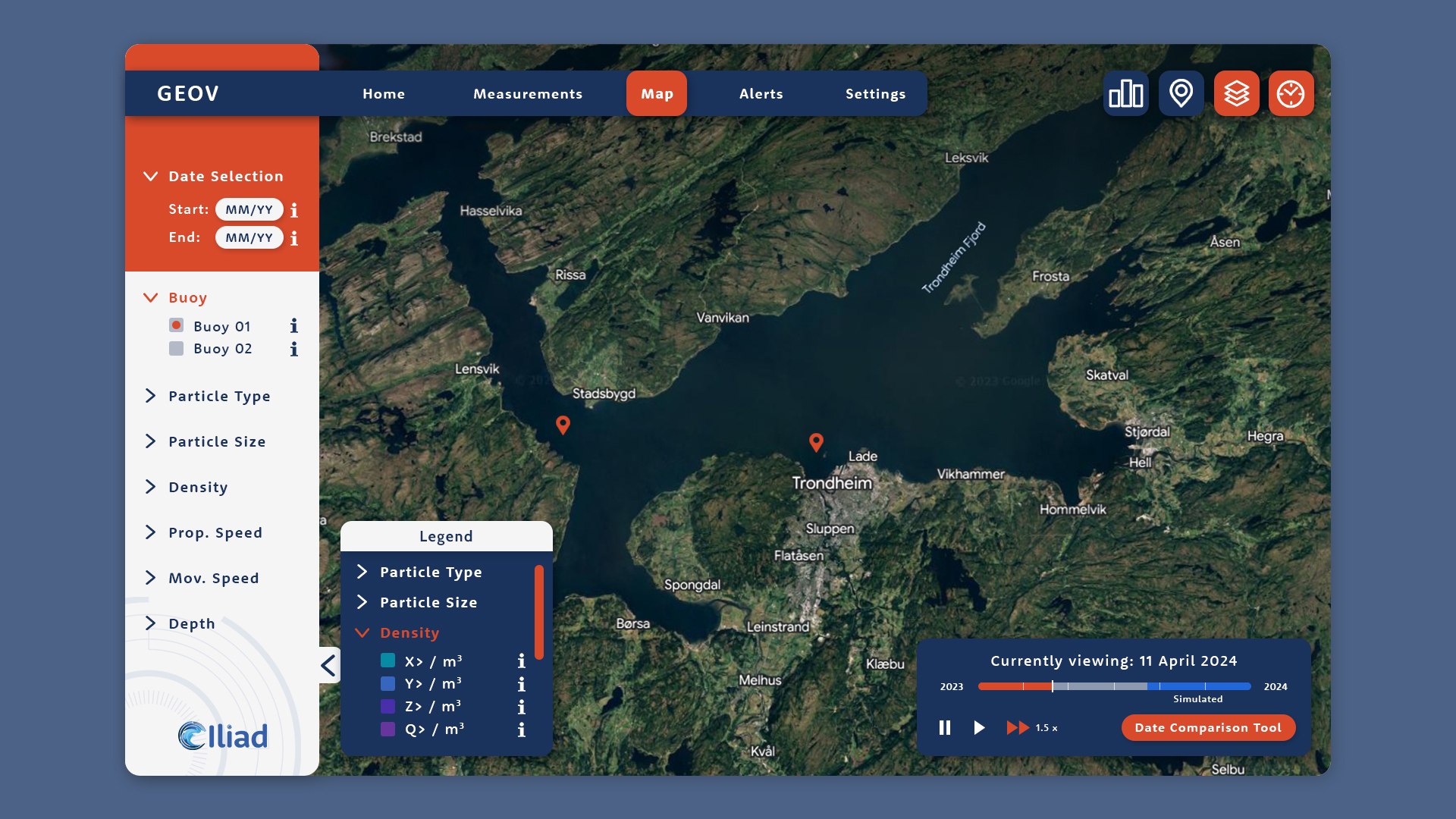
Story The Iliad project builds on the assets resulting from two decades of investments in policies and infrastructures for the blue economy and aims at establishing an interoperable, data-intensive, and cost-effective Digital Twin of the Ocean (DTO). It capitalises on the explosion of new data provided by many different earth sources, advanced computing infrastructures (cloud […]
AugGIS
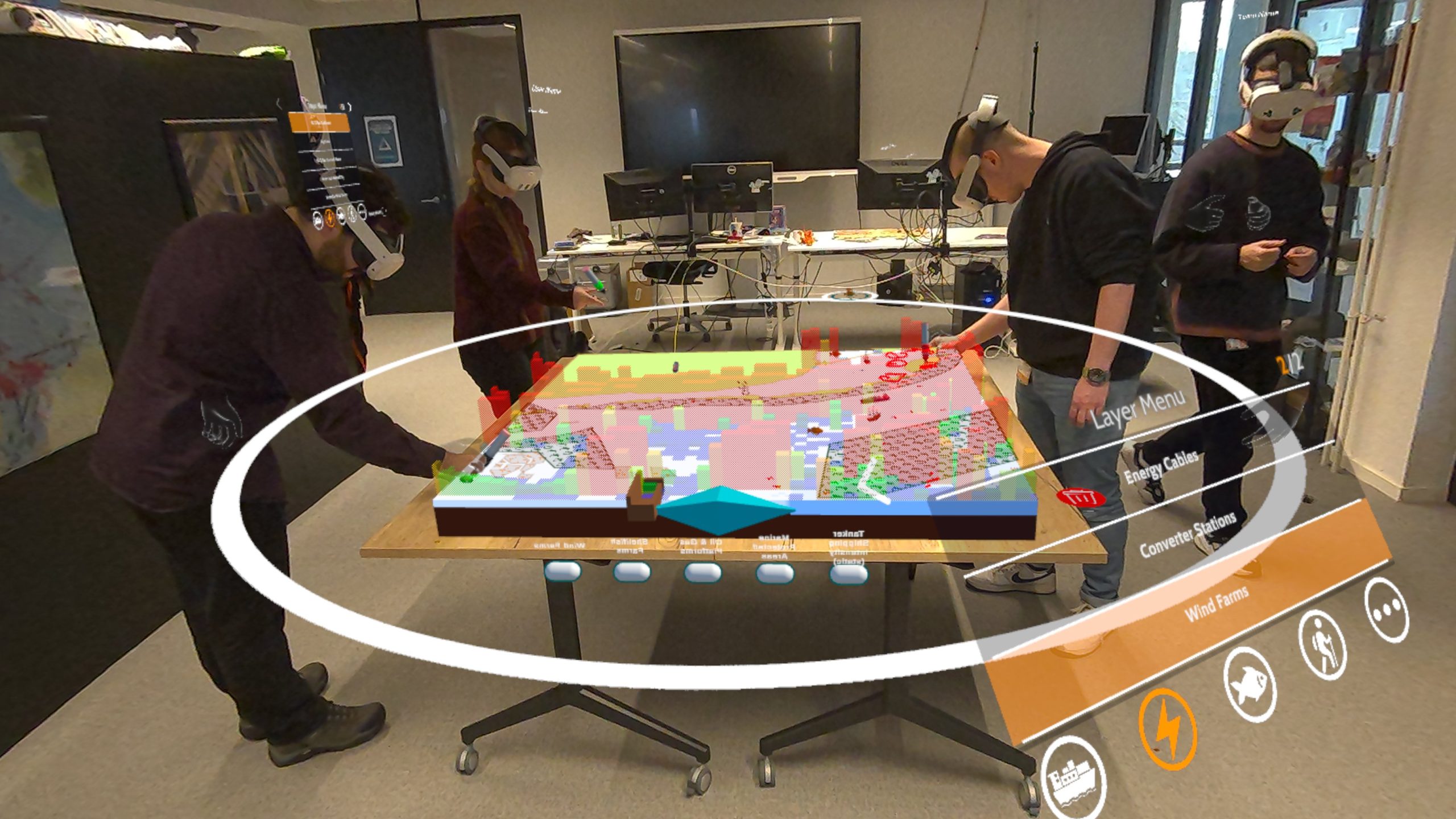
AugGIS is designed to facilitate immersive multi-user stakeholder engagement, providing a mixed reality view over large quantities of geospatial data. This data is projected inside of a shared physical space to create a digital overlay where a group of users can view, control, and discuss the information provided
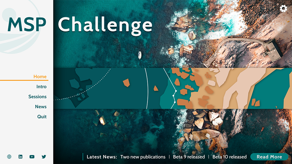
Applying UI and UX design to serious simulation games like MSP Challenge
Uncategorized
Within the simulation game research community, UX/UI design research publications often concern the effectiveness of the result, i.e., the actual game experience and interface design outcome, rather than the thinking and decisions leading up to it. This article fills this gap in the literature by discussing the UX/UI redesign thinking and decision-making behind a particular digital simulation/serious game about marine or maritime spatial planning called MSP Challenge.
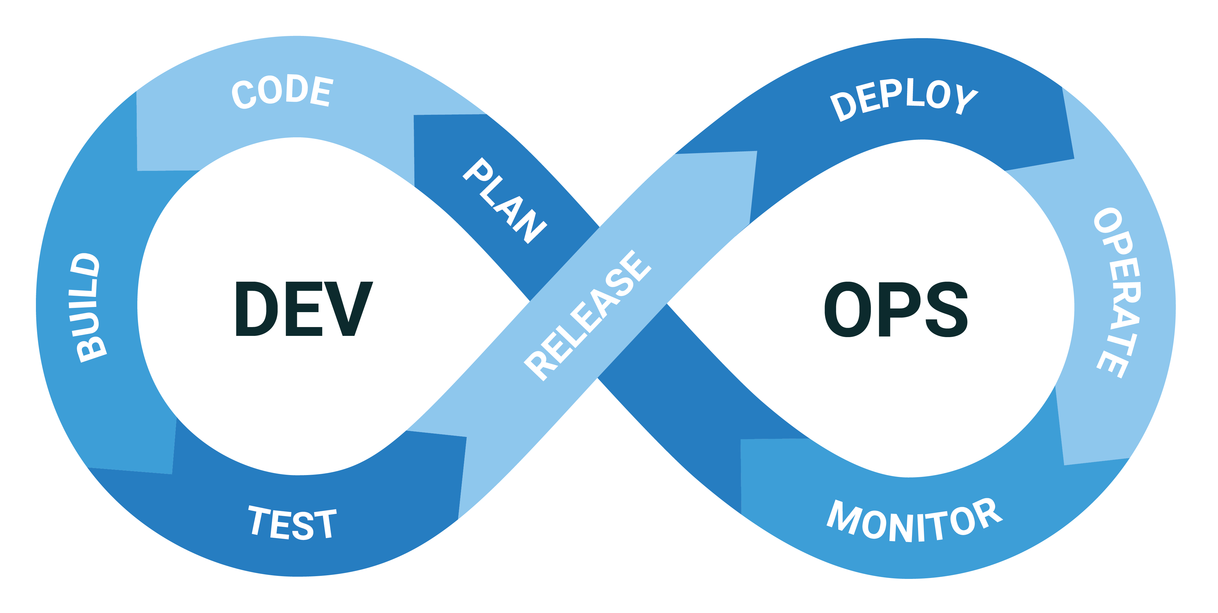
How Cradle moved to a self-hosted CI/CD pipeline based on open-source technologies
Uncategorized
Jenkins, Nexus and other open source tools can help small teams in supporting a large technical infrastructure. This is how we did it.
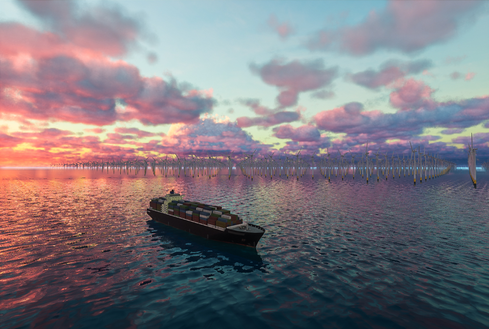
Immersive Ocean
Procedural Ocean View is software that generates Unreal or Unity 3D marine environments based on user-defined input parameters. It offers the opportunity to quickly see and learn what certain marine plans (e.g. a new offshore wind farm) could entail if actually realised.